Colombia
As the Colombian Maritime Authority, the General Maritime Directorate – DIMAR, in compliance with rule 13 of chapter V of the International Convention for the Safety of Life at Sea, 1974 SOLAS and following recommendations of the IALA International guideline on daytime visual markings, permanently updates its aids to navigation, contributing to national maritime safety.
Likewise, DIMAR promotes capacity building in different subjects. For example, in risk assessment to navigation for the establishment of Aids, in attention to the implementation of Resolution A.1070(28) IMO Instruments Implementation Code (III Code), a virtual course was carried out for DIMAR employees. According to the guide G1138 Use of the simplified IALA risk assessment method (SIRA), this course focused on compliance with national and international responsibilities as a Coastal State.
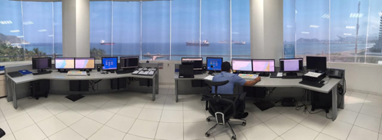
The Vessel Traffic Service (VTS) seeks to increase the safety and efficiency of navigation, contribute to the safety of life at sea and support marine environment protection. For this, DIMAR has fifteen Traffic Monitoring and Maritime Surveillance Stations, eight main or manned, and seven remotes, which have been implemented under IALA standards.
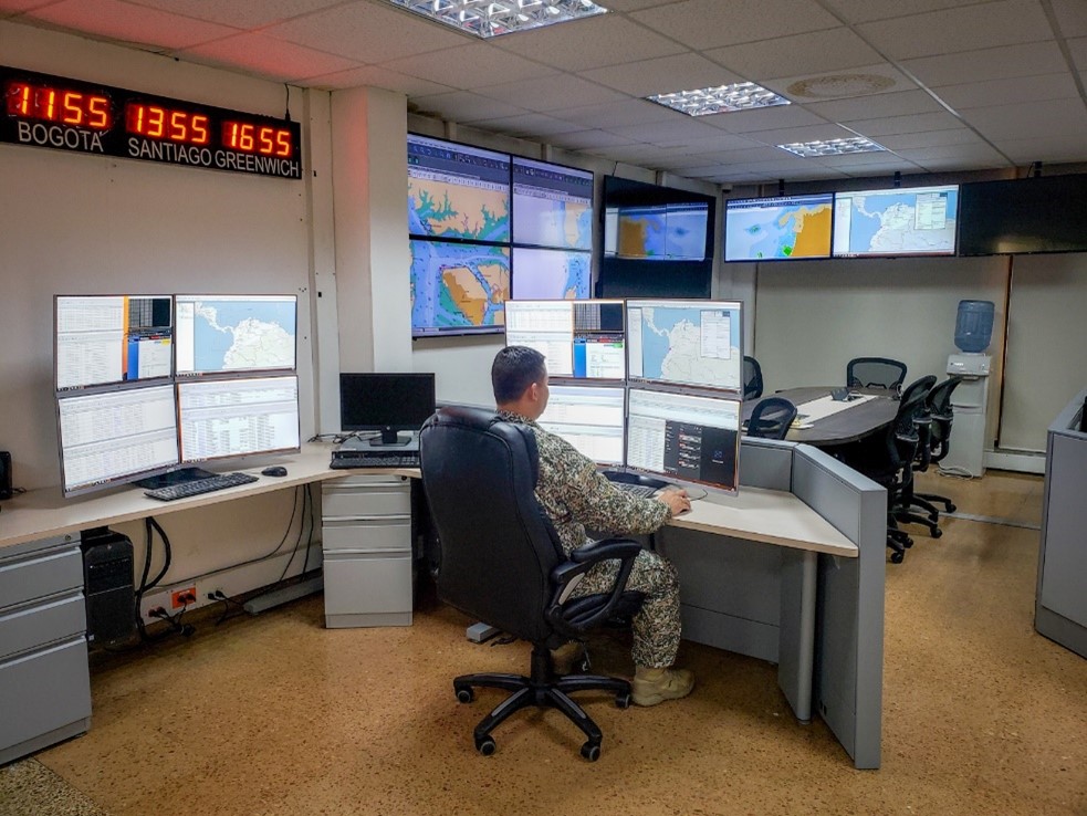
Also, all the information from the sensors and subsystems of the stations deployed on the Pacific and Caribbean coasts, and the insular zone[1], is centralized in a National Maritime Surveillance and Monitoring Center in Bogotá.
In addition, there are technological capabilities such as the Vessel Monitoring System – VMS and the Long-Range Identification and Tracking System – LRIT. These capabilities allow traffic monitoring in real-time, with coverage throughout the national maritime jurisdiction and over the Amazon border river.
On the other hand, there is a Mission Control Center – MCC, located in Bogotá, which is part of the COSPAS-SARSAT system and allows the detection, processing, and distribution of alerts transmitted by the emergency beacons of aircraft, vessels, and people in danger.
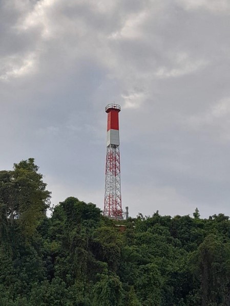
1. Nuqui Lighthouse in the Colombian Pacific.
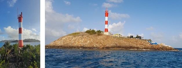
2. Cove Rojo lighthouse, Archipelago of San Andrés and Providencia.
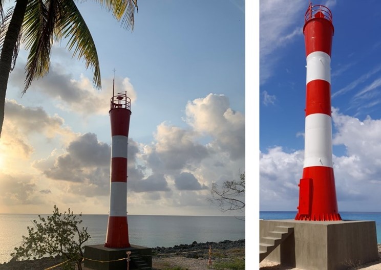
3. Palma Cay Lighthouse Providencia Island.
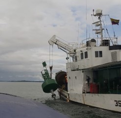
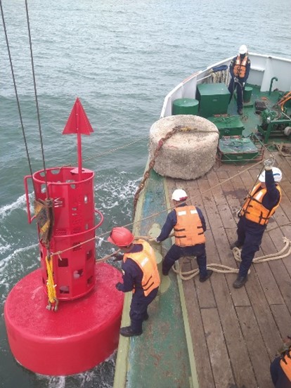
4.and 5. Buoy work in connection with marking the Málaga channel phase II and Arusi in the Colombian Pacific.
6. Santa Marta Traffic Monitoring and Maritime Surveillance Station.
7. National Maritime Surveillance and Monitoring Center in Bogotá.
[1] Archipelago of San Andrés, Providencia and Santa Catalina, and the islands of Malpelo and Gorgona
Rapporteur: Paul Ridgway