IONO
- Name of testbed: IONO – Ionian Integrated Marine Observatory
- Location of testbed: Southern Adriatic and Northern Ionian Seas
- Contact person(s): Gianandrea Mannarini gianandrea.mannarini@cmcc.it
- Time Period: January 2, 2012 to December 31, 2013
- Organisation(s): CMCC, The National Research Center on climate science and policy, Italy; ENEA, Italian National Agency for New Technologies, Energy and Sustainable Economic Development; HCMR, Hellenic Centre for Marine Research, Greece
- Web Site: http://www.ionioproject.eu
- Research Program: European Territorial Cooperation Programme
Executive summary
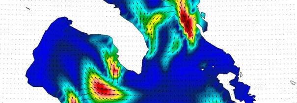
The IONIO project is aimed at designing and implementing an “IONian Integrated marine Observatory” that will provide environmental information and meteo-oceanographic measurements about the Southern Adriatic and Northern Ionian (SANI) Program Area.
Testbeds
Decision Support Systems
- Pollution Hazard Mapping
- Search and Rescue (SAR)
- Ship Routing and Safety (SRS)
Web-GIS GeoPortal
The IONIO Project will deploy
- A monitoring and forecasting system for the SANI area which will allow the dissemination of high resolution environmental information to mariners in the area. Such information will be at the basis of navigator decisions on safer routes, better management of emergencies for lifesavers and for responders to pollution events. The wind, wave and current observations and forecast complement the national observing networks adding the cross-area monitoring capabilities of the IONIO components.
- A database containing the observational and modelling data from 2008 (for model only) to the end of the project. Such data base will give the necessary environmental information for the sustainable development of transport systems in the Programme Area, following the directions of the EU Marine Strategy Framework Directive, recently approved.
- A Web Portal for the cataloguing, discovery and visualization of the database, both in real time and delayed mode. This will form the basis of the IONIO service for the rapid dissemination of relevant environmental information to regional stakeholders for increasing the area’s accessibility and attractiveness.
- A Decision Support System for Search And Rescue which computes the trajectory of bodies at the surface and subsurface to help reduce the loss of lives due to ship accidents.
- A Decision Support System for Ship Routing and Safety which will include real time wind, wave and current data provided by the IONIO modelling system to promote safe navigation.
- A Decision Support System for Pollution Hazard Mapping which contains information about the ship tracks crossing the area and the potential dispersal of pollutants from along track operational releases evaluated using the analyses from the open ocean models of the SANI area and the Gulf of Taranto.
The IONIO service will be tested with the marine and maritime stakeholder groups of the Programme Area. The IONIO products and services should contribute to the future cross border marine strategy plan that will address the sustainable development of maritime activities in line with the Integrated Maritime Policy in the Mediterranean.